Sivert Thompson Loop
Distance: 1.2 miles
Open to: hiking, mountain biking
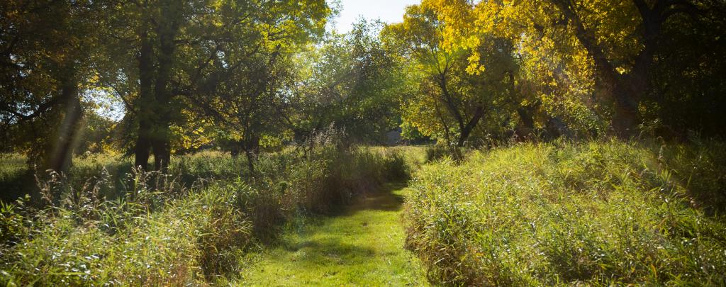
Trails meander through ash/oak woodlands which provide an opportunity to bird watch, photograph wildlife, and view 130 different plant species that are native to Grahams Island. The trail also provides a view of Devils Lake along the south shore of Grahams Island.
North Campground Loop
Distance: 0.5 miles
Open to: hiking, mountain biking
Trails meander through ash/oak woodlands which provide an opportunity to bird watch, photograph waterfowl, and wildlife and view 130 different plant species that are native to Grahams Island.
Cross-country Ski Trail
Distance: 3 miles
Open to: cross-country skiing
These trails are maintained for winter activity. The snow conditions determine the availability of trails. Trails are groomed weekly in the winter and are ready to ski.
The park is open to snowshoeing; however, it is not allowed on the groomed cross-country ski trails. There are many places to explore, but we encourage people to check out the packed path we have established throughout the primitive campground during the winter months.

Trail Maps:
- A PDF Map of the trails is available here.
- All North Dakota State Park and Recreation Area trail maps are available in the OuterSpatial App.
- Paper park maps are also available at the park.