The park is the terminus of the North Country National Scenic Trail which stretches 4,800 miles from Vermont to Lake Sakakawea State Park. Several multi-use trails in the park are perfect for hiking, biking, cross-country skiing, and snowshoeing. Hikers are encouraged to take in the scenic beauty of the completed segments of the North Country National Scenic Trail found in this park.
North Country Trail
Distance: 1.8 miles
Open to: hiking, mountain biking
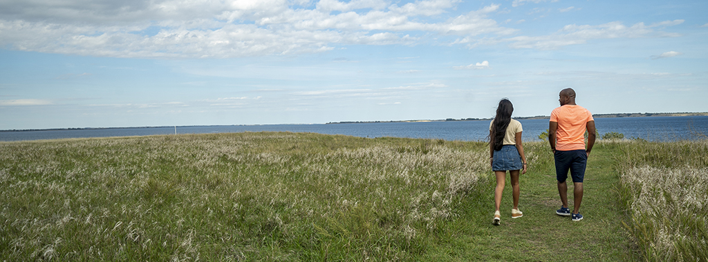
The North Country Trail is one of this park’s highlights. Beginning in Vermont, the trail crosses eight states before ending at the western terminus of Lake Sakakawea State Park. The NCT is the longest continuous hiking trail (4,800 miles) in the U.S. The trail can be accessed just outside the Visitor Center where a large sign rises from the hill prairie with a backdrop of Lake Sakakawea, affording a nice place for photos. This shortgrass prairie is home to a myriad of native flowers and pollinators. The trail continues through mature elm/ash coulees where deer, pheasants, and numerous birds may be sighted. The trail climbs in elevation as it hooks up with Whitetail Trail and continues down to the south end of the park where there is a good view of the Army Corps of Engineers’ Intake Structure leading to the Garrison Dam.
Shoreline Trail
Distance: 2.8 miles
Open to: hiking, mountain biking
The Shoreline Trail traverses the entire length, north-south, of the park and is the longest distance trail at this site. Beginning at the east side of the Sanish Group sites the trail follows where the waters of Lake Sakakawea meet the land. One will experience the many outcroppings of scoria formations, along with petrified trunks of ancient trees. There are several coal veins that strongly contrast against the red scoria rocks. The trail’s southern end encompasses several quieter bays where shorebirds and waterfowl may be seen.
Whitetail Loop
Distance: 0.2 miles
Open to: hiking, mountain biking
Whitetail Loop is the park’s shortest loop, but rich with a variety of mature elm, juneberry, ash, and Buffaloberry tree species. This is a favorite site for watching Yellow Warblers, Catbirds, Brown Thrashers, Rufus Tohee, and other native birds. This trail hooks up with The North Country Trail on the west side of this loop. There is a moderate climb in elevation along this loop.
Overlook Trail
Distance: 0.4 miles
Open to: hiking
The Overlook Trail begins just past the Visitor Center and the edge of a shaded coulee where Chokecherry trees fill with fruit in late August. The trail continues towards the lake where there is a breathtaking overlook, girdled with unadulterated prairie containing mature Yucca, Blazing Star, Prickly Pear Cactus, Leadplant, and a host of other native forbs and grasses. This point also is a photo paradise as the Main Intake Structure for the Garrison Dam is in full view. This trail also accesses the North Country Trail, Whitetail and Shoreline trails as it travels east towards the lake.

Trail Maps:
- A PDF Map of the trails is available here.
- All North Dakota State Park and Recreation Area trail information is available on the OuterSpatial App.
- Paper park maps are also available at the park.