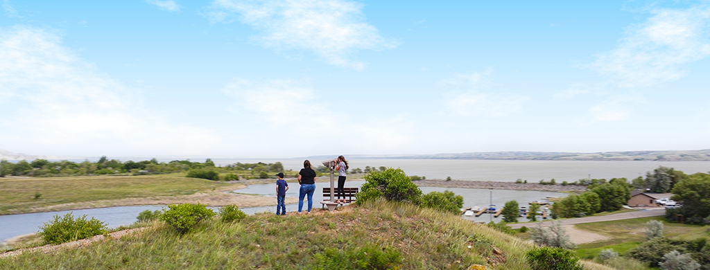
On the north shore of Lake Sakakawea, Lewis and Clark State Park is situated among the rugged buttes of the North Dakota Badlands. The park is named for the Corps of Discovery explorers Meriwether Lewis and William Clark The expedition camped nearby on April 17, 1805.
Coteau Trail
(formerly Prairie Nature Trail)
Distance: 1.1 miles
Open to: hiking
This self-guided nature trail includes a number of interpretive stations and is easily accessible from the trailhead near the park office and concession store. The nature trail features petrified wood and a boardwalk for an up-close look at wetland animals. Remember to leave natural items where you found them for others to enjoy. The interpretive trail meanders through native prairie and wooded ravines. Trail guides can be picked up at the Trader's Bay Visitor's Center or entrance booth.
Greenhorn Trail
(formerly North Trail System)
Distance: 1.43 miles
Open to: hiking, mountain biking, snowshoeing
This trail has multiple access points near the campground loops and cabins and runs parallel to Lake Sakakawea in the northeast section of the park. The Greenhorn Trail goes through native prairie intermixed with traces of woody draw communities. While taking a break on one of the many benches provided, listen closely for the catlike "meow" of the gray catbird's call or perhaps spot the distinctive deep blue head and underparts of a male Lazuli bunting. Hikers may catch sight of soaring turkey vultures. A portion of the trail is groomed for snowshoeing in the winter.
Eskers Trail
(formerly South Trail System)
Distance: 2.6 miles
Open to: hiking, mountain biking, snowshoeing
This 2.6-mile multi-looped route combines Lewis and Clark interpretation with some wonderful native prairie images, views of majestic Badlands and Lake Sakakawea. Open areas and native prairie hilltops provide good butterfly-watching opportunities. Catch a glimpse of common banded or Pawnee skippers flitting amongst the blazing stars or perhaps take a photo of an Ottoe skipper sitting on a purple coneflower. Birding opportunities along the trail are also great. Watch for the black bib and horn-like feathers of the horned lark or the large white wing patches of the lark bunting. Take a break on the bench under the ash tree and listen to the soft trickling of the stream and perhaps hear the familiar musical song of the yellow warbler, "sweet, sweet, sweet, I'm so very sweet." A portion of the trail is groomed for snowshoeing in the winter.
Trail Maps
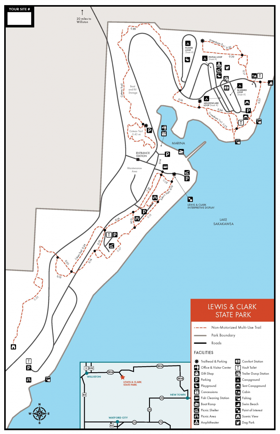
- A PDF Map of the trails is available here.
- A PDF Map of the winter trails is available here.
- All North Dakota State Park and Recreation Area trail maps are available in the OuterSpatial App.
- Paper park maps are also available at the park.